20 places, one standard
Destinations
Brisa books vetted local photographers, videographers and drone pilots in 20 destinations across Brazil — cities, coastlines, islands and national parks — from $130. Each one lives there, and knows which hour a place is still empty and which authority a session there answers to.
20 destinations
Search a destination
Rio de Janeiro
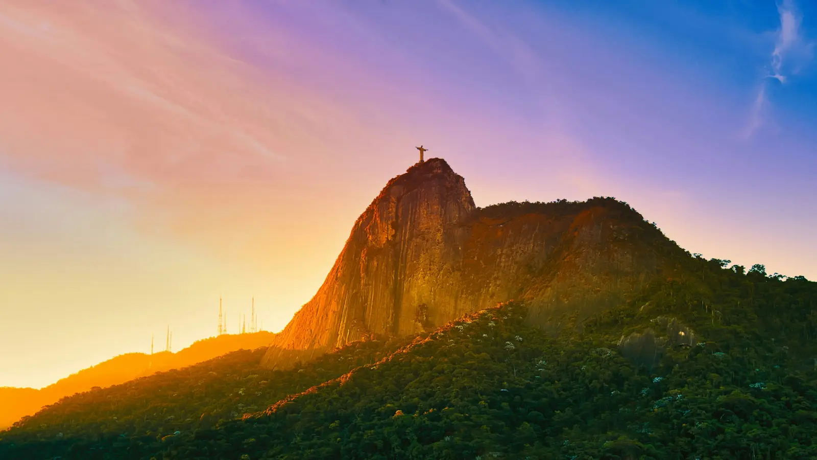
Rio de Janeiro is a coastal city wrapped around a forest: the Parque Nacional da Tijuca, a national park run by the Instituto Chico Mendes de Conservação da Biodiversidade (ICMBio), holds Corcovado, Pedra Bonita, Pedra da Gávea, the Floresta da Tijuca and Parque Lage inside the city limits. Almost every famous view in Rio sits in one of three places: that federal park, private ground such as the Parque Bondinho Pão de Açúcar, or a public beach run by the Prefeitura do Rio. Each one keeps its own hours and its own position on cameras, and a session is planned around which of the three it falls under. The park's visitor protocol, PROV nº 01/2024, sets the clock. The Trem do Corcovado and the concession vans run from 8:00 to 19:00, extended to 20:00 in summer; Parque Lage admits visitors from 8:00 to 18:00; the Pedra Bonita vehicle gate opens from 8:00 to 17:00. ICMBio does not require an authorisation for filming inside a federal park during public hours when the visitor routine is left as it is. A shoot before opening, after closing or one that blocks a viewpoint needs ICMBio's special image-capture authorisation, which is free and requested online with a gov.br account. Light decides the rest. Rio keeps a single time zone all year, and on 21 December the sun rises at about 5:04 and sets at 18:37, while on 21 June it rises at 6:32 and sets at 17:16. Sunrise comes up out of the Atlantic behind Copacabana and Ipanema, and sunset drops behind the mountains of the Zona Oeste, which is why Pedra do Arpoador fills with people clapping the sun down on clear evenings in the cooler months. The people booking here are mostly couples and families from the US, Canada and Europe, plus Brazilian couples from other states: proposals at first light, engagement sessions in the forest, honeymoon portraits with Sugarloaf behind them, and Carnaval portraits in February. The beaches are public ground, but hotels, the Bondinho and the Santuário Cristo Redentor are private or religious ground with rules of their own, and those rules are confirmed in writing before a session is booked there.
Explore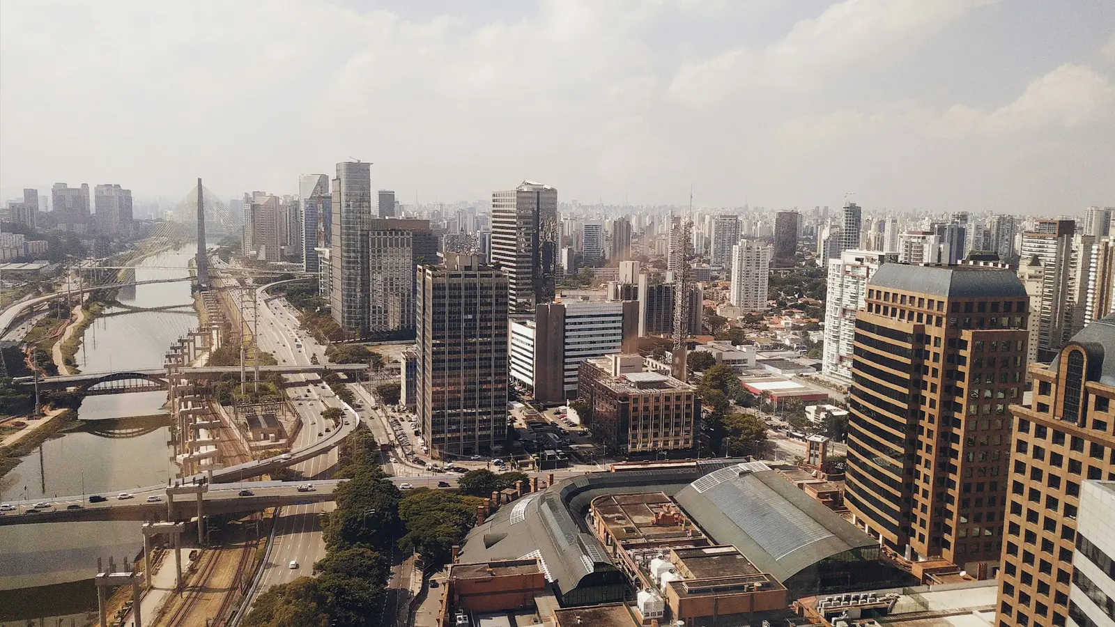
São Paulo
São Paulo is a city of concrete, murals and private gardens where a photo session is planned around who runs the ground underfoot. The Secretaria Municipal do Verde e do Meio Ambiente (SVMA) allows personal photographs in the municipal parks, but treats a session with large cameras, tripods or added lighting as commercial photography and asks for its prior authorisation, requested 10 days ahead. Several of the best-known parks are no longer run by SVMA at all: Parque Ibirapuera is operated by the concessionaire Urbia, and Parque Trianon on Avenida Paulista by the Consórcio Borboletas, and in those parks the request goes to the concessionaire instead. Moving pictures follow a different track. Under Decreto 56.905/2016, every filming request for a municipal public space, except personal or journalistic recording, is centralised at the São Paulo Film Commission, the film office of the city agency Spcine. A photographer with a camera on a pavement is not a film shoot; a videographer with a crew, a gimbal rig and a car parked for equipment can be. The streets carry the rest of the work. Avenida Paulista is closed to cars on Sundays and holidays from 9:00 to 16:00 under the Ruas Abertas programme, between Praça do Ciclista and Praça Oswaldo Cruz, with the red pillars and the open span of the Museu de Arte de São Paulo (MASP) at number 1578. Beco do Batman in Vila Madalena is a public alley of murals that are painted over and replaced continuously, so the wall in an old photograph may not exist any more. Clients here are mostly people who live or work in the city: founders and executives who need portraits, teams at conferences, couples between two jobs, and families marking a birthday. Sessions are short and close to the client, and traffic, not light, is usually the constraint that shapes the day.
Explore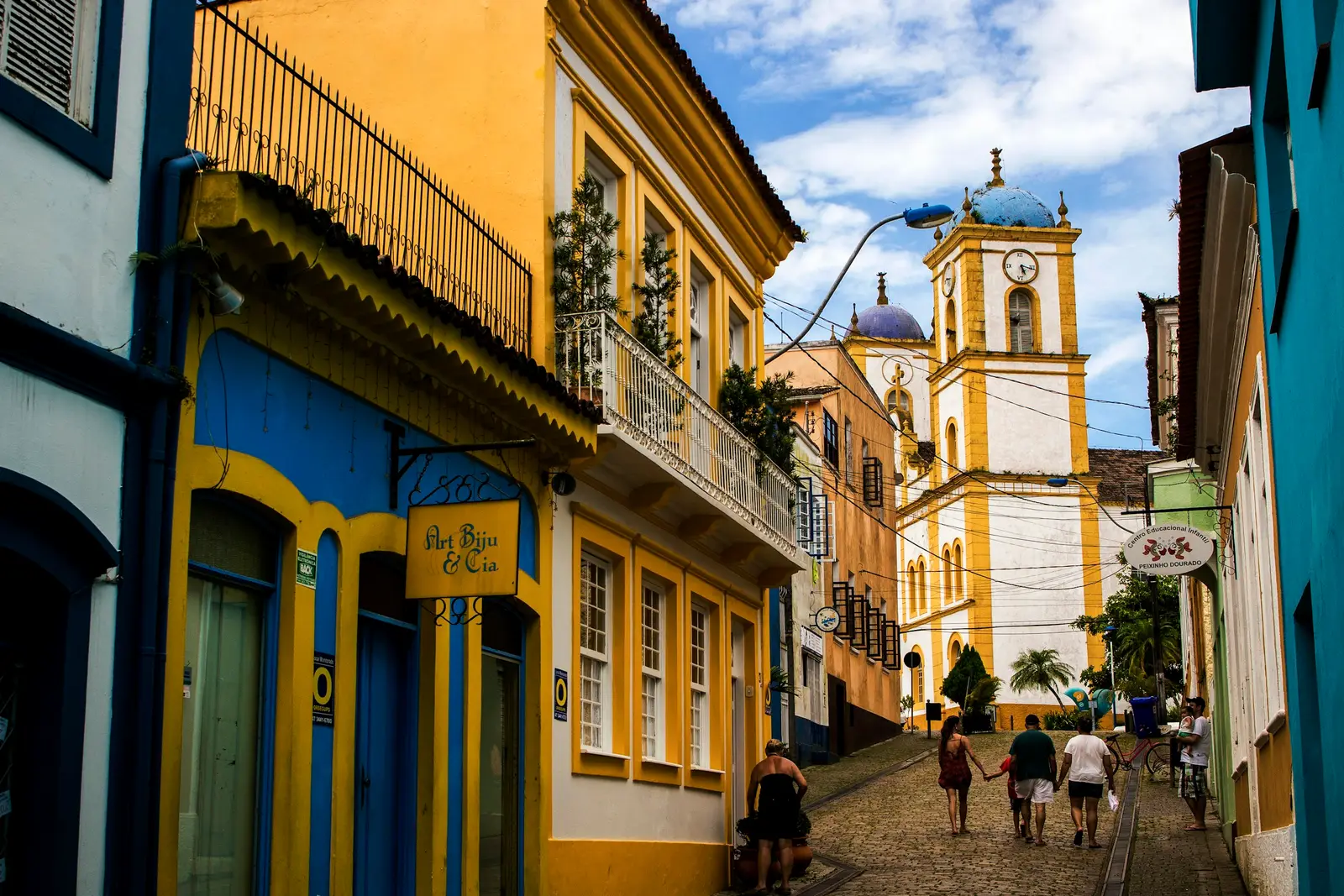
Florianópolis
Florianópolis is the capital of Santa Catarina, built mostly on Santa Catarina Island, about 54 km long, joined to the mainland by bridges. Its Atlantic coast to the east is a run of surf beaches, its western shore faces the calm bays towards the mainland, and in the middle lies the Lagoa da Conceição, a long lagoon backed by white dunes. Locals call it Floripa, and most sessions here move between those three kinds of water in a single day. A large share of the island is protected by the city itself. The Parque Natural Municipal das Dunas da Lagoa da Conceição, created in September 1988, covers 706.76 hectares between the lagoon and Joaquina beach and is open to the public without restriction. The Parque Natural Municipal da Lagoinha do Leste, created in January 1992 and covering 920.54 hectares, protects a beach and lagoon in the south of the island that is reached on foot by trail, or by fishermen's boats from the Pântano do Sul in high season. Offshore, the Ilha do Campeche was listed by the Instituto do Patrimônio Histórico e Artístico Nacional (IPHAN) in 2000 for its landscape and its rock engravings, and became a Monumento Natural Municipal in 2025. Landing there needs a voucher booked on the Prefeitura's site, released 24 hours after payment, with no rescheduling or refund if the sea turns. To the north, the colonial fortresses on Anhatomirim and Ratones Grande are run by the Universidade Federal de Santa Catarina (UFSC) and reached by private boats. The people booking here are couples and families from across Brazil and from Argentina and Uruguay, surfers who want to be photographed in the water, and creators working the lagoon and the dunes. Many come in summer, when the sun sets as late as 19:08, and others choose winter for the whale season and the emptier beaches.
Explore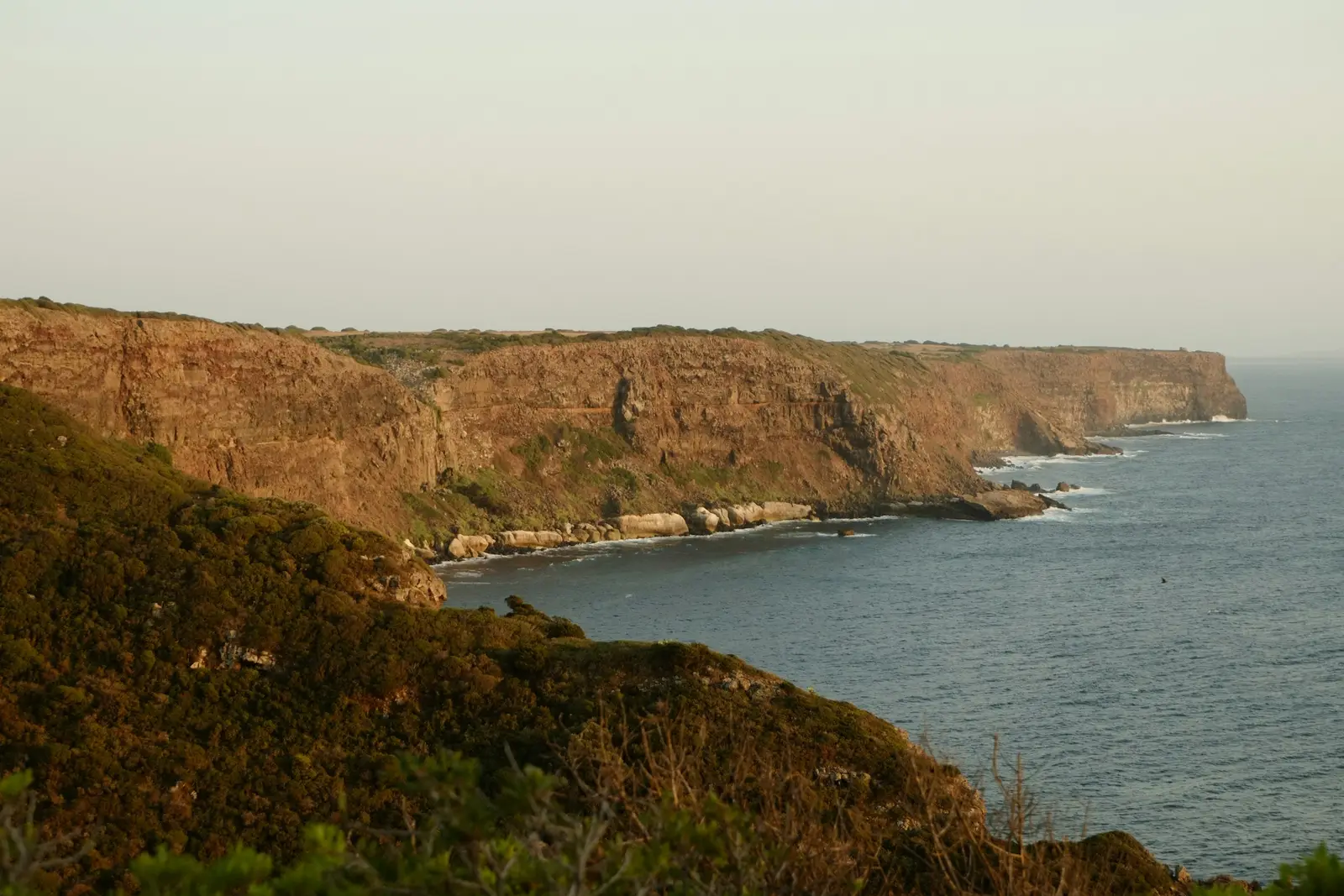
Trancoso
Trancoso is a district of Porto Seguro, on the southern coast of Bahia, built around the Quadrado: a long grass square with the white Igreja de São João Batista at its seaward end and a row of small painted houses down each side. The Instituto do Patrimônio Histórico e Artístico Nacional (IPHAN) describes the plan as the Jesuit village model, a large green ringed by dwellings with the church on one side, and it is the same plan that shaped Arraial d'Ajuda and Vale Verde. Almost every photograph people arrive with is taken somewhere on that lawn or on the cliff behind the church. The protection is broader than the square. IPHAN listed the Cidade Alta of Porto Seguro in 1968, the federal Decreto nº 72.107 made the whole municipality a Monumento Nacional in April 1973, and the listed area was redrawn in 2000 to take in about 800 buildings. That perimeter covers Arraial d'Ajuda, Trancoso and Caraíva and every tourist subdivision inside a 3 km strip along the coast, so the pousadas of Trancoso, the cliff-top houses and the beach clubs all sit within it. Land use, roof type and the number of floors there follow both the Prefeitura de Porto Seguro and IPHAN. The beaches below the cliff are public. Article 10 of Lei nº 7.661/1988 makes every Brazilian beach a public good of common use with free access to the sand and the sea, so a session on the Praia dos Nativos or the Praia dos Coqueiros needs no landowner's permission. Crossing a private property to reach the sand is a different matter, and a pousada or beach club that owns the path decides who uses it. The nearest airport is Porto Seguro's, about 17 km in a straight line north of the Quadrado, with the Rio Buranhém and a ferry crossing between them. Arraial d'Ajuda lies about 12 km north of Trancoso, and Caraíva about 25 km south, at the end of a dirt road. Most people booking here are couples on a long stay: destination weddings at the cliff-top pousadas, elopements, honeymoons and proposals, plus pousadas that need their rooms and grounds photographed before the summer season.
Explore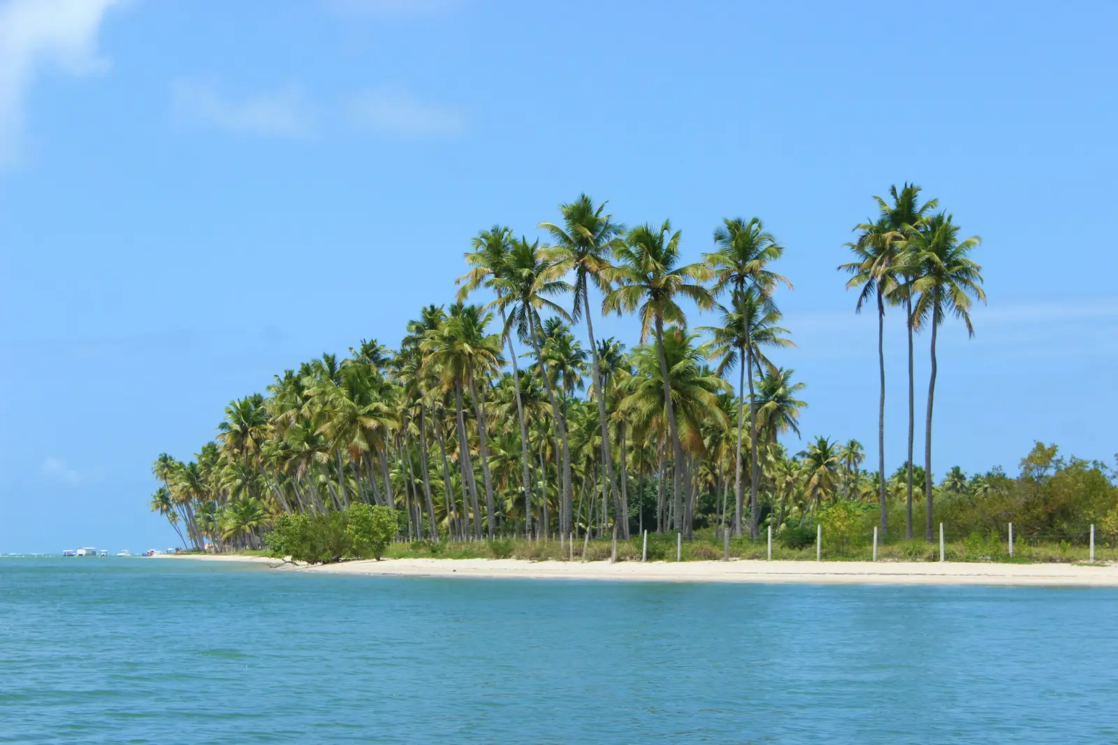
Fernando de Noronha
Fernando de Noronha is an Atlantic archipelago about 350 km off the coast, governed by the state of Pernambuco and split between two federal conservation units: the Parque Nacional Marinho de Fernando de Noronha, which covers most of the coast and sea, and the Área de Proteção Ambiental (APA) around the village and the airport. Both are run by the Instituto Chico Mendes de Conservação da Biodiversidade (ICMBio), and which of the two a session falls in decides almost everything about it. Two charges apply before a camera comes out. The Administração do Distrito Estadual de Fernando de Noronha collects the Taxa de Preservação Ambiental (TPA) from every non-resident, priced by the length of the stay: R$ 105,79 for one day and R$ 672,85 for seven in 2026, with unplanned extra days charged at double. The park ticket is separate, set by ICMBio Portaria nº 4.423 at R$ 384 with a 50% discount for Brazilians, and it is checked at each control post, called a PIC, at the park beaches. The park also sets the hours. Baía do Sancho opens from 8:00 to 18:00 and is reached by a fixed ladder in the cliff with alternating up and down windows; the Baía dos Golfinhos lookout opens at 6:30; the Baía do Sueste admits visitors to the sand from 9:00 to 16:00 and bans bathing. The natural pools of Atalaia are booked by daily slot, timed by ICMBio to the low tide and capped by a carrying-capacity study. Clients here are mostly honeymooners and couples on stays of four to seven nights, with a share of proposals and small elopements. ICMBio does not require authorisation for personal photo sessions, engagement shoots included, as long as they stay in visiting areas, in opening hours, and do not disrupt other visitors. Drones are another matter: the park reserves them for scientific research, so aerial work happens over the APA only.
Explore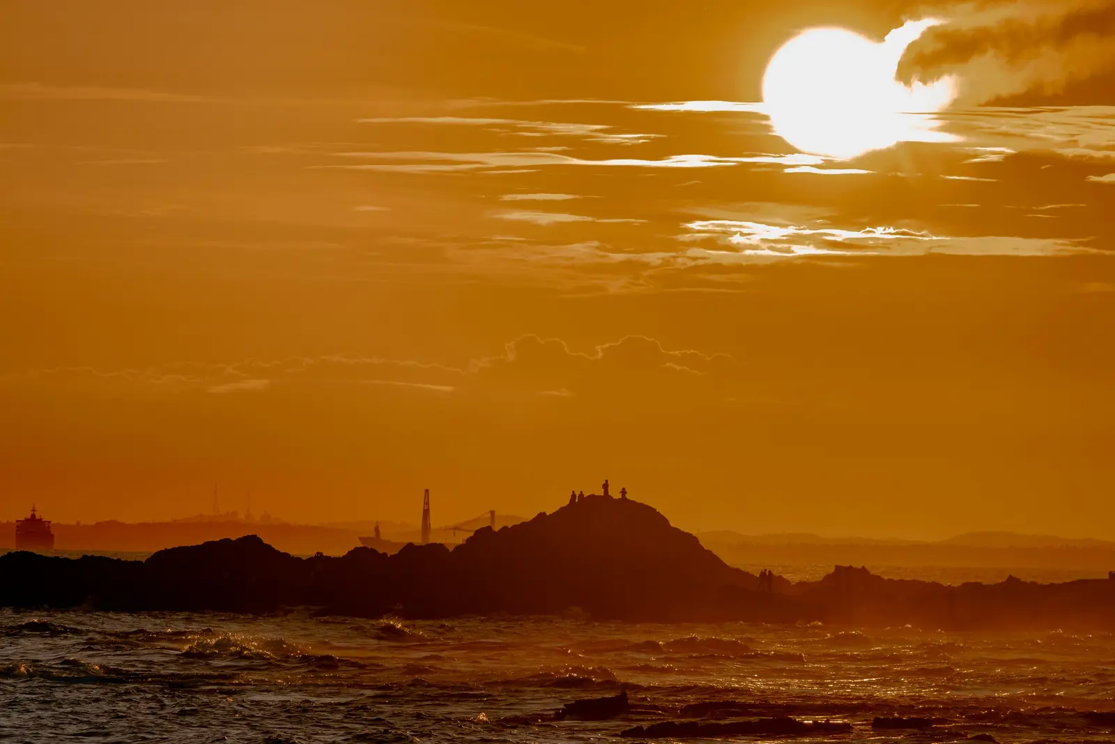
Salvador
Salvador is the capital of Bahia and was the first capital of colonial Brazil, built as a fortified town on the ridge above the Baía de Todos-os-Santos. Its historic centre, the Pelourinho and the streets around it, was declared World Heritage in 1985 and is protected by the Instituto do Patrimônio Histórico e Artístico Nacional (IPHAN). Pastel façades, baroque church fronts and steep cobbled slopes make it the backdrop most couples and families ask for, and the light between the narrow streets changes by the hour. The city's shape decides where the sun goes. Barra, at the tip of the peninsula, faces west across the mouth of the bay, so the sun sets over the water there at about 17:16 in late June and 17:59 in late December. The Farol da Barra stands on the point inside the Forte de Santo Antônio da Barra, now the Museu Náutico da Bahia, which sells same-day tickets until 17:00 and lets visitors in until 17:30. The rocks and the square outside the fort are public, and that is where most sunset sessions happen. Further along the Atlantic shore, about 17 km from the Pelourinho in a straight line, the Lagoa do Abaeté lies among white dunes inside the Área de Proteção Ambiental Lagoas e Dunas do Abaeté, a state protected area of about 1,800 hectares whose council is convened by the Instituto do Meio Ambiente e Recursos Hídricos (INEMA). The beaches between the two, Porto da Barra and Rio Vermelho among them, are public under Lei nº 7.661/1988. Clients here are couples on a city break, families on holiday, and the visitors who come for Carnaval, when the Prefeitura runs three parade circuits across the city: Dodô along the seafront from the Farol da Barra to Ondina, Osmar from Campo Grande to the Praça Castro Alves, and the short Batatinha through the Pelourinho. In Carnaval week the city reorganises itself around those routes, and every session is planned around them.
Explore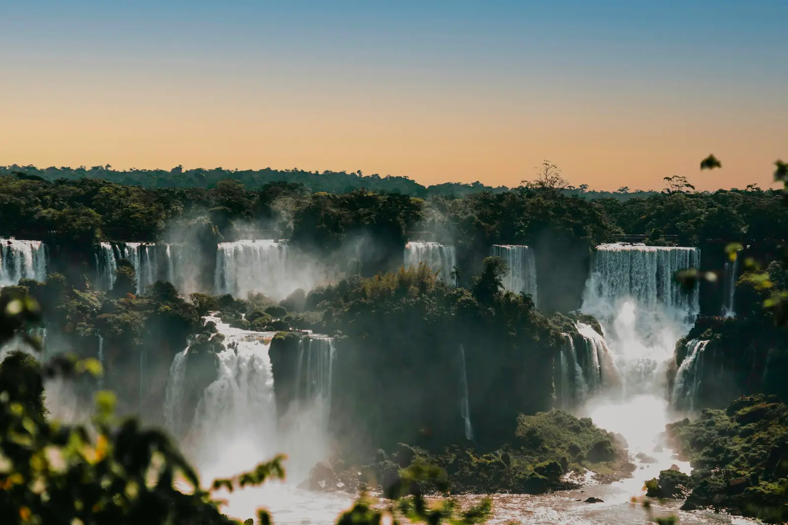
Foz do Iguaçu
Foz do Iguaçu is a city in the far west of Paraná, on the border with Argentina and Paraguay, that exists for the photographer because of one place: the Iguaçu Falls inside the Parque Nacional do Iguaçu. The park is federal, managed by the Instituto Chico Mendes de Conservação da Biodiversidade (ICMBio), and its visitor area, the Polo Cataratas, is run by a concessionaire that sells the tickets, the internal buses and the special experiences. A session at the falls is planned around both. The rules for cameras are clearer here than in most parks. ICMBio's image guidance for Iguaçu, based on Instrução Normativa ICMBio 12/2025, says photography in areas and hours open to visitors needs no authorisation, as long as it does not change the visitor routine. A session that wants a closed area, a time outside visiting hours or a blocked walkway needs ICMBio's Special Authorisation. Drones are a different matter entirely: visitors may not fly them in the park even with an ANAC registration. The clock is the real constraint. Entry runs from 9:00 on weekdays and 8:30 at weekends, the last entry slot is 16:00, and everyone leaves by 17:30, while the sun sets in Foz between about 17:55 in June and 19:30 in January. A regular ticket never sees sunset at the falls. The concessionaire sells a separate sunrise experience, Amanhecer nas Cataratas, with access at 5:30 from Wednesday to Saturday, and a sunset one; those are the only first and last light on the walkways. The Argentine side, the Parque Nacional Iguazú across the river, is a separate park with its own tickets, hours and rules and a border crossing in between, and it is not covered by Brazilian authorisations. Most visitors give each side a day. Clients here are couples and families on a two- or three-night stop, often between Rio, São Paulo and Buenos Aires, plus proposals timed to the falls.
Explore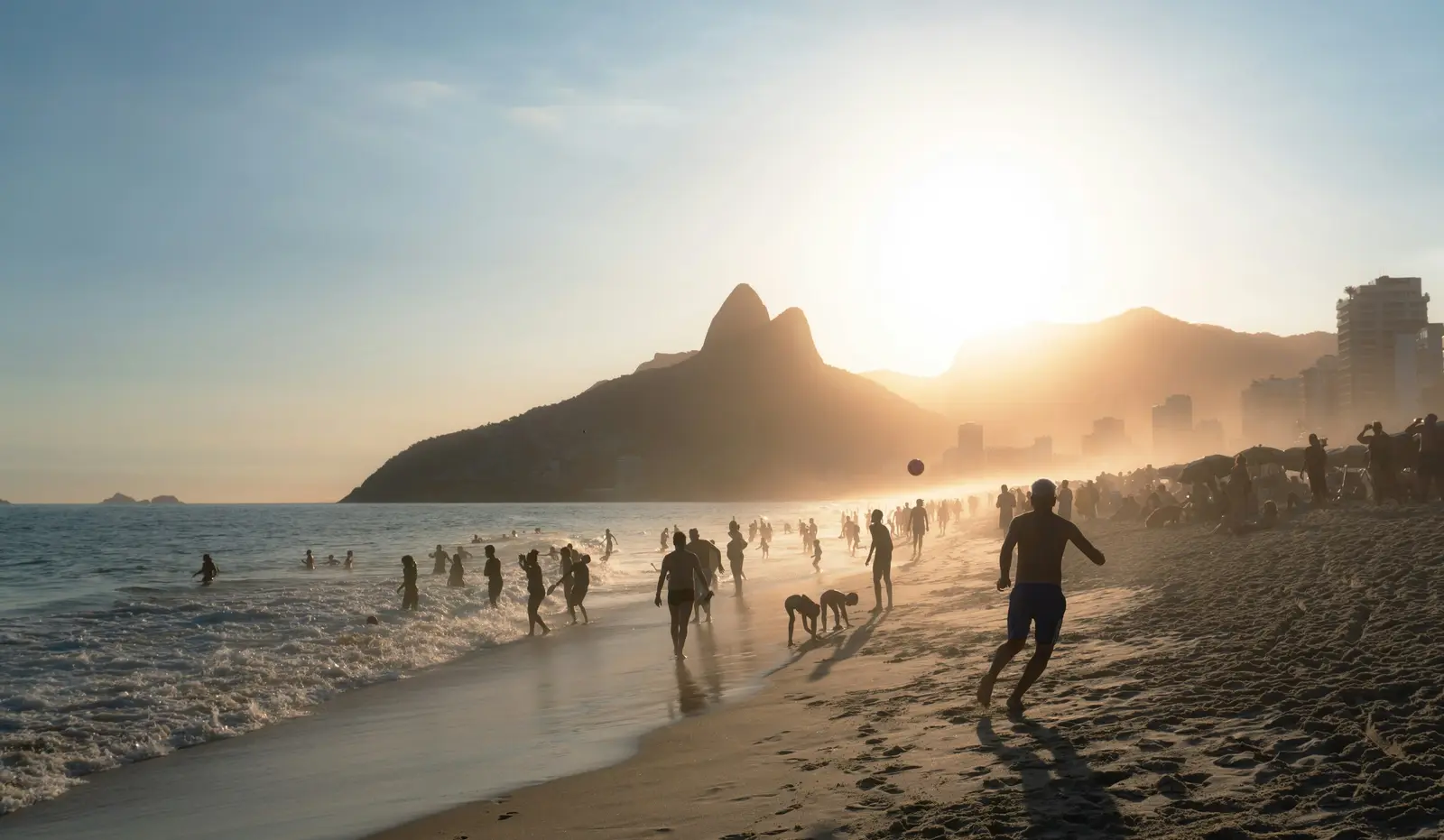
Búzios
Búzios, officially Armação dos Búzios, is a resort town on a peninsula in the Região dos Lagos of Rio de Janeiro state, about 170 km east of the city of Rio by road. The Prefeitura's tourism portal counts 23 beaches around its edge, and they split into two kinds. The northern side faces the bay and the mainland, with small, calm coves, fishing boats and the old village of Armação; the southern and eastern side faces the open Atlantic, with long beaches, colder water, waves and wind. That split decides the light. Armação, the Orla Bardot and Praia dos Ossos look west and north-west across the bay, so sunset falls over the water, at about 17:11 on 21 June and 18:31 on 21 December. Geribá and Ferradura open to the south, and get side light at both ends of the day rather than a sun on the horizon. Sunrise comes up out of the ocean behind the eastern beaches, from about 4:59 in December to 6:27 in June. The beaches are public, and the municipal code sets the rules that matter to a session. Amplified sound and animals are not allowed on the sand, and ball games are limited to marked zones on a handful of beaches such as Geribá, Manguinhos and Armação. Several of the northern coves are easiest to reach by boat, and boat tours leave daily from the town piers. Hotels and pousadas line Ferradura and Geribá, and each one sets its own rules for outside photographers, so a session on a hotel terrace or at a beach club starts with a written answer from the venue. People who book here are couples above all: elopements and small weddings at the pousadas, honeymoons of a few nights after a wedding in Rio or São Paulo, proposals on the Orla at dusk, and families on summer holiday. The town is small enough that the photographer can cover two beaches and the Rua das Pedras in the same evening.
Explore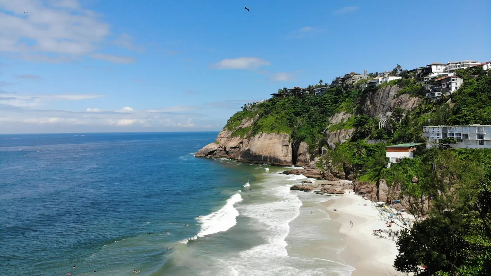
Paraty
Paraty is a colonial town on the bay of Ilha Grande, at the southern tip of Rio de Janeiro state, about 250 km west of the city of Rio along the coast road. Its historic centre has been listed by the Instituto do Patrimônio Histórico e Artístico Nacional (IPHAN) since 1958, and in 2019 Paraty and Ilha Grande were inscribed together as a World Heritage site for culture and biodiversity, Brazil's first mixed site. White houses with coloured doors and window frames, baroque churches and streets paved in large irregular stones make the centre one of the best-preserved colonial towns in the country. The stones are the first thing a session plans for. The paving, known locally as pé-de-moleque, is uneven and slippery after rain, heels sink between the stones, and the streets are walked rather than driven. A couple session in the centre is a slow walk with stops, and the photographer chooses corners where light reflects off the white walls into faces. The town is small: the whole historic quarter can be crossed on foot in about 10 minutes. Beyond the town, the coast is green mountains falling into the sea. Trindade, at the end of the road south towards the São Paulo border, sits partly inside the Parque Nacional da Serra da Bocaina, run by the Instituto Chico Mendes de Conservação da Biodiversidade (ICMBio), whose visitor guide lists Trindade's beaches and natural pool for sea bathing and Praia da Caixa d'Aço for surfing. ICMBio ranked Bocaina the 4th most visited national park in Brazil in 2024, and the Trindade beaches fill on summer weekends. Clients here are couples first: destination weddings at the pousadas and fazendas around town, elopements on a beach reached by boat or trail, and engagement sessions in the historic centre, plus families and Brazilian couples on a long weekend from Rio or São Paulo. Pousadas and private beach houses set their own rules for outside photographers, and those are confirmed in writing before a session is booked there.
Explore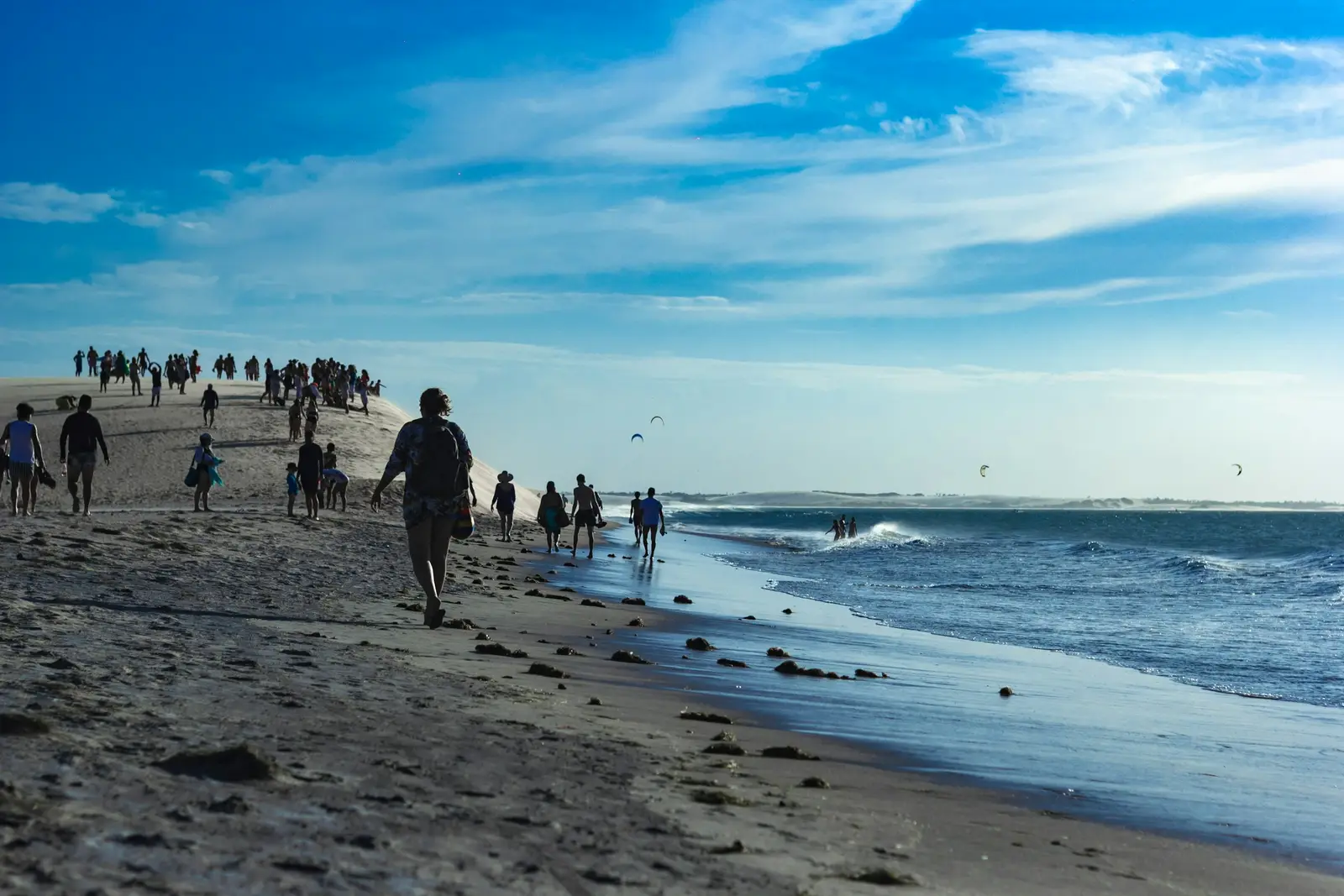
Jericoacoara
Jericoacoara is a sand-street village on the west coast of Ceará, in the municipality of Jijoca de Jericoacoara, wrapped on three sides by the Parque Nacional de Jericoacoara. The park is run by the Instituto Chico Mendes de Conservação da Biodiversidade (ICMBio) and covers about 8,850 hectares, including a marine strip 1 km wide. ICMBio places the village 294 km from Fortaleza along the CE-085, with the last 20 km or so on a sand track from Jijoca. A session here moves between two authorities within a few hundred metres: the municipality for the village and its fee, and ICMBio for the dunes, the Pedra Furada and the coast around them. The municipality charges every visitor a Taxa de Turismo Sustentável (TTS) of R$ 41,50 per person, valid for up to 10 days, and R$ 4,15 for each day beyond that. It is paid online in advance or at the posts at the entrance to Jijoca and to the Vila. A national-park entry fee proposed by the park concessionaire has been suspended by the courts, and the municipal notice of October 2026 states that the TTS is the only fee in force. Private cars do not circulate in the Vila at all; they stay in the authorised car park at its entrance, and ICMBio prohibits driving any motor vehicle over fixed or moving dunes inside the park. Photography inside the park follows ICMBio Instrução Normativa nº 12/2025. A session during visiting hours, in an area open to visitors, that does not change how other people use the place needs no authorisation. Work outside those hours or areas needs a special image-capture authorisation, requested free of charge on gov.br. A shoot that brings temporary structures or a set is handled as an event, applied for at least 100 days ahead under IN 05/2019 and possibly charged. Images used to promote a brand need a separate authorisation for commercial use, paid by GRU. The village beach faces north, so the light here is side light. The sun rises between 05:31 and 05:46 local time all year, and it sets to the west-northwest in June, at an azimuth of about 293°, and to the west-southwest in December, at about 247°. Couples, honeymooners and two-person elopements make up most sessions, with a steady share of content creators. Pousadas and beach bars set their own rules for outside photographers, so a session on private ground starts with a written request to the venue.
Explore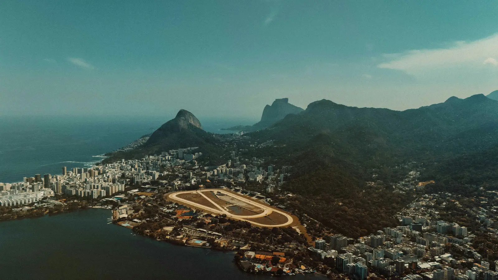
Ilha Grande
Ilha Grande is the largest island in the state of Rio de Janeiro, 193 km² of mountain and Atlantic Forest in the bay of the same name, part of the municipality of Angra dos Reis. The Prefeitura counts 106 beaches around its coast. About 62.5% of the island is the Parque Estadual da Ilha Grande, created in 1971 and run by the Instituto Estadual do Ambiente (INEA), with more than 80 km of trails, and the island was inscribed with Paraty as a World Heritage site in 2019. There is no road traffic. The Barcas S/A ferries and the faster private boats cross daily from Angra dos Reis, Conceição de Jacareí and Mangaratiba to Vila do Abraão, the main village on the north-east coast, where the park headquarters stands. From Abraão, every other beach is a walk on a forest trail or a ride on a boat taxi or tour, and the state decree on park use, nº 42.483/2010, bans motor vehicles from unauthorised places inside the park. Photographer, couple and luggage all travel the same way, which makes the island one of the few places where the transfer is part of the photographs. Light on the island follows the mountains. On 21 December the sun rises at about 5:08 and sets at 18:41, and on 21 June it rises at 6:37 and sets at 17:19, but the high ridge behind Abraão, crowned by the Pico do Papagaio, puts the village into shadow well before sunset. Beaches facing open water get the last light; coves under the ridge get soft, even shade for portraits by mid-afternoon. People who book here are couples on a slow trip: elopements on a beach with nobody else on it, honeymoon portraits in clear water, proposals at the end of a trail. Families come on summer holidays, and many guests are travellers combining Rio, Paraty and the island in one route. Pousadas on the island set their own rules for outside photographers, and those are confirmed in writing before booking.
Explore
Porto de Galinhas
Porto de Galinhas is a beach village in the municipality of Ipojuca, about 60 km south of Recife’s international airport on the PE-009, roughly an hour by car. Its reason for being on every itinerary is a line of sandstone and coral reef a short way off the beach: at low tide the sea drops inside it and leaves natural pools of warm, clear water, around 27 °C through the year, reached by jangada, the flat wooden sailing raft of this coast. That makes the tide the first fact of any booking. The Prefeitura do Ipojuca advises visiting the pools at low tide and checking the tide table first, and the low tide arrives a little later each day, so the good hour on Monday is not the good hour on Thursday. The jangadas leave from the beach in the village centre, and the municipality asks visitors not to step on or touch the coral and not to feed the fish, which rules out the classic picture of a couple standing on the reef. The rest of the coast gives the sessions their variety. Muro Alto, about 9 km north, is a long reef wall that encloses a calm lagoon, backed by the large resorts of the area but with wide public sand in front of them. To the south, Maracaípe is a surf beach that hosts national and international competitions, and its Pontal is where the Maracaípe river meets the sea, inside an environmental protection area, with seahorses seen on guided jangada trips and a sunset the town gathers to watch. Clients here are families on beach holidays, couples, honeymooners and a good share of maternity sessions, many staying at the Muro Alto resorts. The coast faces east, so the sun rises out of the sea, as early as about 4:50 in November, and sets inland, over the river at the Pontal, between about 17:10 and 17:45.
Explore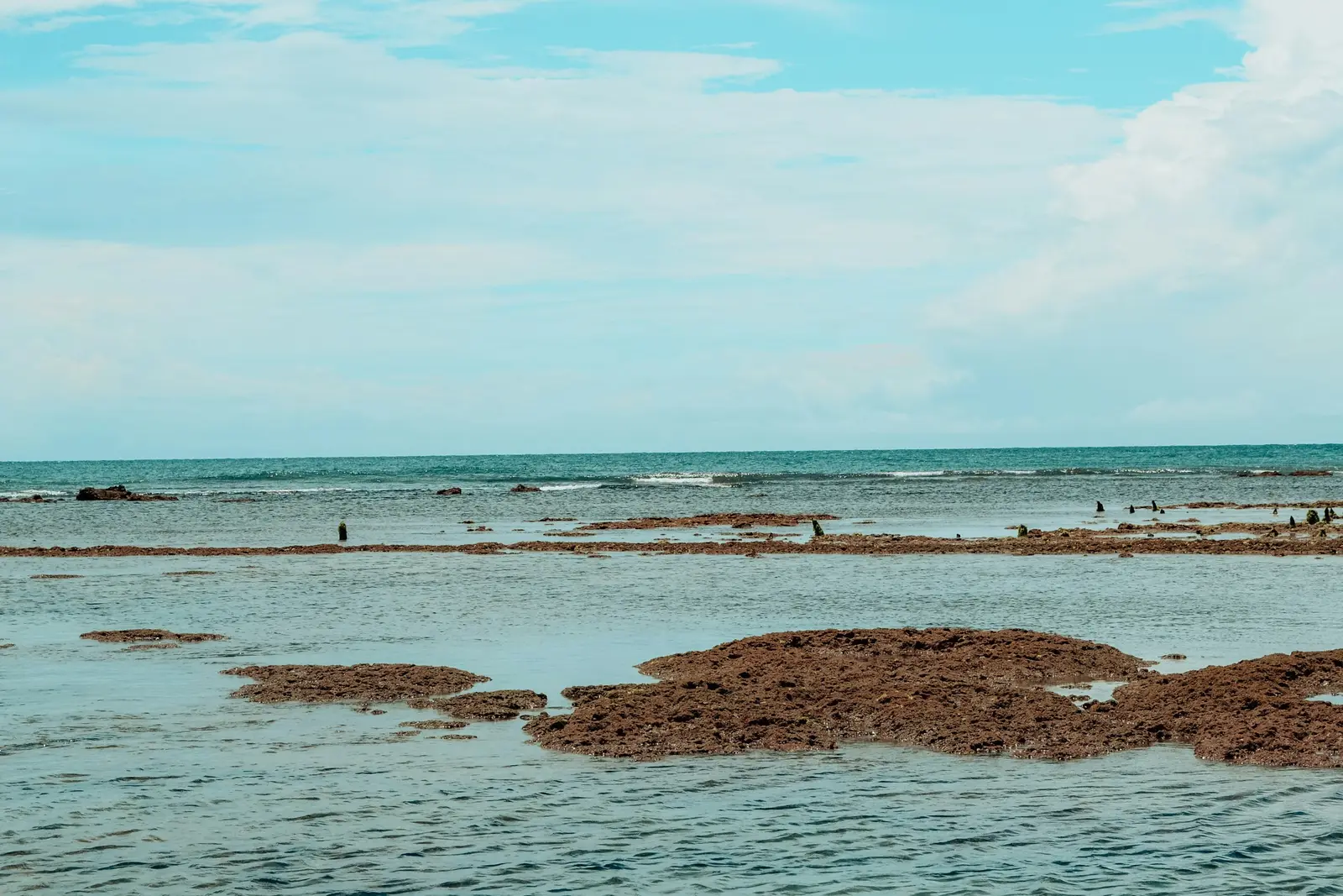
Maceió
Maceió is the capital of Alagoas and the base for a coast that runs north through Ipioca, São Miguel dos Milagres, Porto de Pedras and Maragogi. Most of that shoreline lies inside the Área de Proteção Ambiental Costa dos Corais, the largest federal marine conservation unit in Brazil, managed by the Instituto Chico Mendes de Conservação da Biodiversidade (ICMBio). Its reefs are the reason people come: at low tide they form natural pools of clear, shallow water a short boat ride from the sand. Each pool has its own rules, and they come from different desks. In the city itself, the Prefeitura de Maceió’s Portaria nº 013/2025 confines tour jangadas to one stretch of Pajuçara, between the fire brigade’s water-rescue base and the Maré Mansa restaurant, and requires their parked sails not to block the sea view. In the north of the city, the Ipioca pools were opened in 2022 under a quota of 22 jangadas a day for the Tatu pool, and five catamarans and eight speedboats for the Português. Further north, the Galés de Maragogi are governed by ICMBio’s Instrução Normativa nº 08 of 2009, which caps them at 720 visitors a day, keeps boats on fixed moorings, sends them out of the zone at high tide and bans sound systems and food sales on the reef. Between Maceió and Maragogi, the Rota Ecológica dos Milagres strings together quieter pools reached by jangada and the Rio Tatuamunha, where manatee visits are run by authorised community guides. Clients here are couples, honeymooners and families, many staying in Pajuçara and Ponta Verde or in the pousadas of São Miguel dos Milagres. The coast faces east and southeast, so the sun rises over the reef as early as about 4:50 in November, and sets inland between about 17:10 and 17:50.
Explore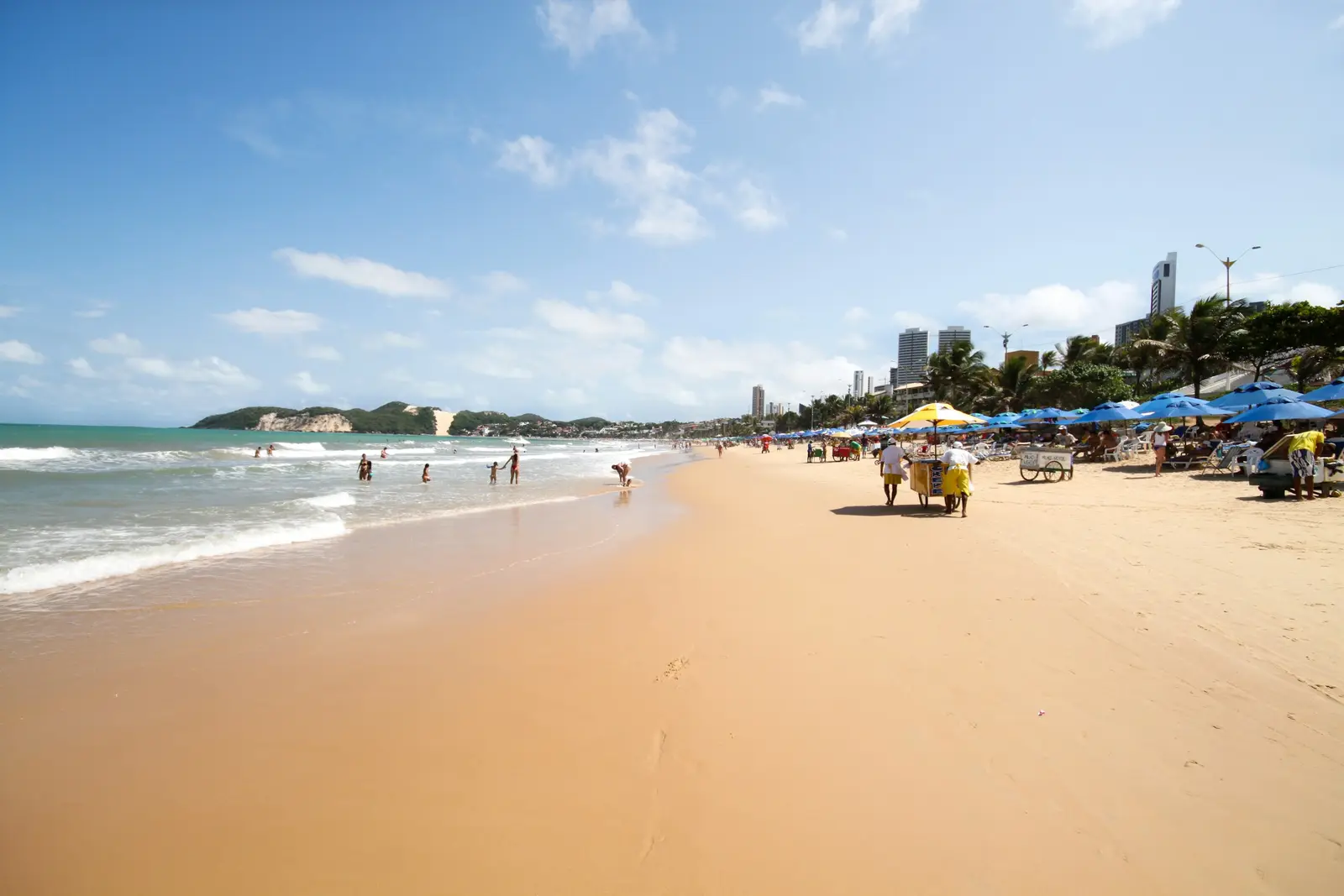
Natal
Natal is the capital of Rio Grande do Norte, on the corner of Brazil where the coast turns from east-facing to north-facing, and it is a city of dunes as much as beaches. Ponta Negra, the main beach district, ends at the Morro do Careca, a tall dune with a bald face of sand above the sea. According to the Prefeitura do Natal, the dune is part of the environmental protection zone ZPA-6, people have been barred from it since 1997, and the area belongs to the federal government under the control of the Centro de Lançamento da Barreira do Inferno (CLBI). A photo session here keeps it in the background. North of the city, across the Potengi river, the dunes of Genipabu in the municipality of Extremoz are the classic Natal excursion: mobile white dunes, lagoons between them, and buggy tours that stop for a swim, with the esquibunda slide down the sand into the water. The Lagoa de Pitangui nearby has calm water ringed by dunes. At the mouth of the Potengi stands the Forte dos Reis Magos, a star-shaped fortress begun on 6 January 1598, a year before the city itself. South, about 90 km away by the BR-101 and the RN-003, Pipa in the municipality of Tibau do Sul has cliffs, dolphins in the Baía dos Golfinhos, and the Chapadão clifftop above the Praia do Amor. Many visitors split a stay between Natal and Pipa, and sessions are planned accordingly, one in each. Clients here are couples, families on beach holidays and a good number of Brazilian visitors from the south and southeast. The coast faces east, so the sun rises out of the sea between about 4:54 in November and 5:28 in June, and sets inland between about 17:15 and 17:42. Morning sessions at Ponta Negra and afternoon sessions on the dunes are the usual shape of a day.
Explore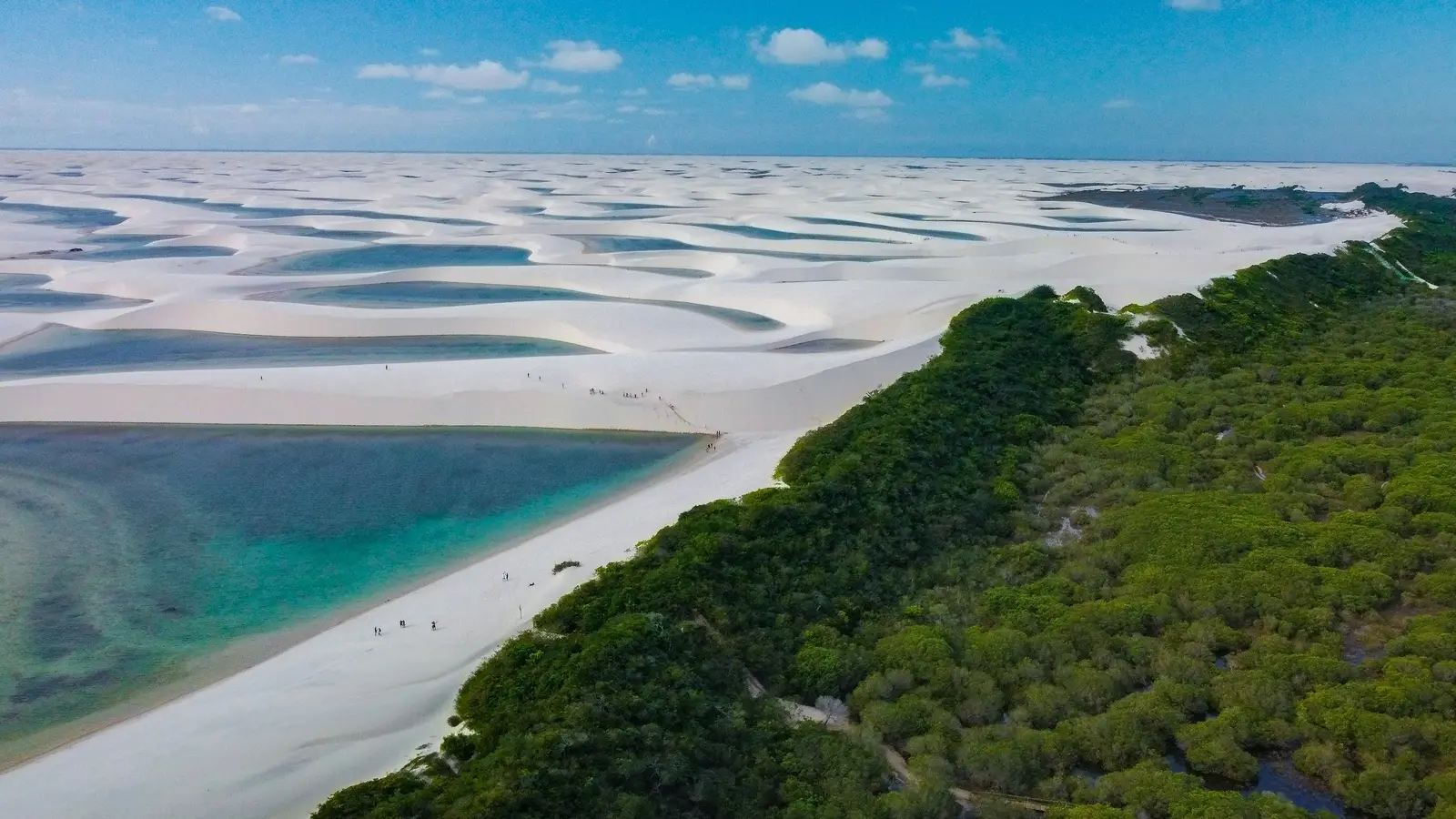
Lençóis Maranhenses
The Lençóis Maranhenses is a coastal region of Maranhão whose centre is the Parque Nacional dos Lençóis Maranhenses, a field of white dunes and rain-fed lagoons created by Decree 86.060 of 2 June 1981 and covering 156,608 hectares. UNESCO inscribed it as a World Heritage Site in 2024. The park is run by the Instituto Chico Mendes de Conservação da Biodiversidade (ICMBio), and it is entered from four sides: Barreirinhas, the main gateway; the village of Atins, at the mouth of the Rio Preguiças; Santo Amaro do Maranhão, to the west; and Primeira Cruz. ICMBio charges no entry fee, and lets nobody drive in on their own. Visitor transport and tours inside the park happen only in credentialed vehicles, with credentialed drivers and guides, and ICMBio’s visitor rules name private cars, motorbikes, buggies, quads and UTVs as prohibited. Ofício Circular nº 16/2026 restated it in July 2026 and fixed the outside road as the only authorised land route between Barreirinhas and Atins. Alcohol, glass, fires and pets are all banned inside the park. Photography follows ICMBio Instrução Normativa nº 12/2025: a session during visiting hours, on an open circuit, that changes nothing for other visitors needs no authorisation. Anything outside those limits needs ICMBio’s free image-capture authorisation, and the park’s Ofício Circular nº 15/2026 sets its deadlines: requests filed less than 15 days ahead may not be handled, and those filed less than 10 days ahead are refused without analysis. The same circular sends drone operators to the rules of ANATEL, ANAC and DECEA’s ICA 100-40. The park also changes from season to season. In July 2026 ICMBio added the Lagoa da Jacundá to the Rancharia circuit near Santo Amaro after the Lagoa do Bicudo Gordo drained, and classed the new lagoon as a site where no structure, furniture or support equipment of any kind may be set up. The Travessia dos Lençóis, the multi-day walk from Atins to Santo Amaro through the park’s Zona Primitiva, is open on foot only, with groups of at most 10 people per guide and bookings at the community stops of Baixa Grande, Queimada dos Britos and Betânia.
Explore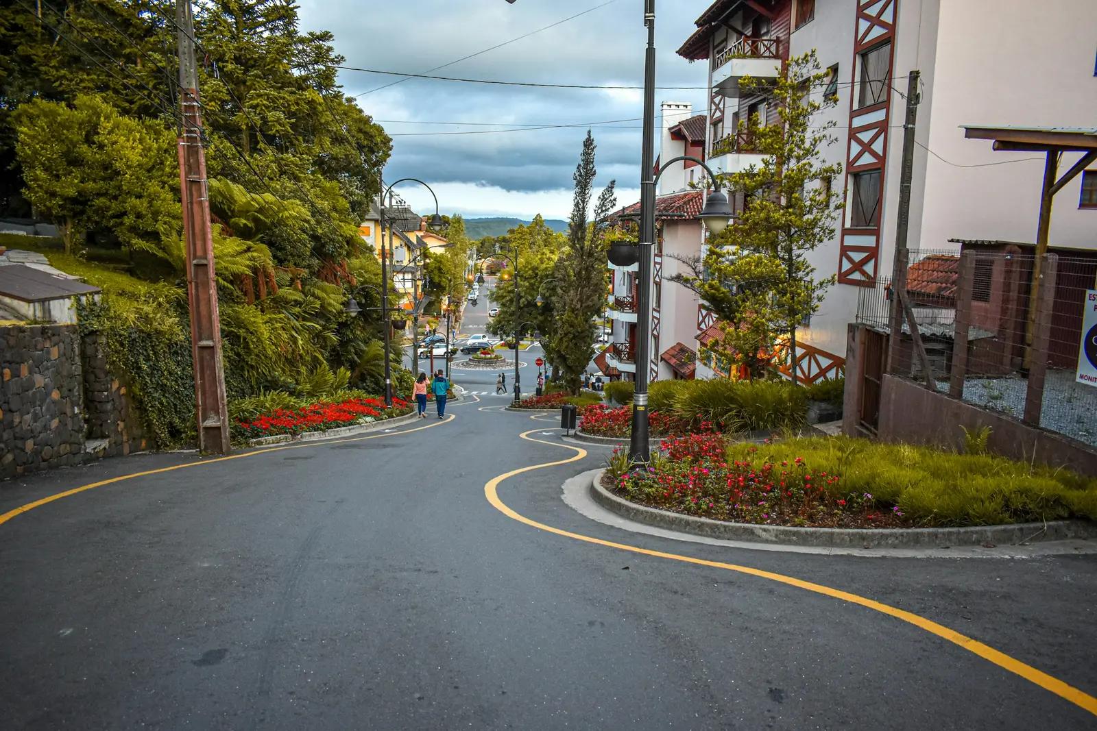
Gramado
Gramado is a mountain town in the Serra Gaúcha of Rio Grande do Sul, built in a half-timbered, alpine style that Brazilians travel a long way to see, and it is photographed together with its neighbour Canela, a short drive along the same ridge. Couples come for the cold, the hydrangeas and the chocolate shops; families come for Christmas. Almost nothing a session needs here is a federal matter: the town centre is municipal, and the best-known views in Canela sit inside privately operated parks that write their own rules. Those rules are worth reading before booking. The Parque do Caracol in Canela, around the Cascata do Caracol waterfall, forbids filming or photographing the park for commercial purposes without the operator's prior authorisation, and forbids carrying or flying drones. Skyglass Canela, a glass platform over the Vale da Ferradura, and the Parque Bondinhos Canela, a cable-car park down to the foot of a waterfall, keep their own hours, and both close by the end of the afternoon. The calendar shapes the rest. Natal Luz, produced by the municipal tourism company Gramadotur, fills the streets around the Rua Coberta and the Palácio dos Festivais from late October to mid-January with parades, light shows and free attractions, and the town is at its fullest then. Winter, from June to August, is the other high season, when cold mornings and early sunsets draw couples from the rest of Brazil. Sessions here are short and walkable in the centre, with a car needed for Canela. The photographer plans each one around a park's closing time or a show's start, because in Gramado most of the best light falls close to one or the other.
Explore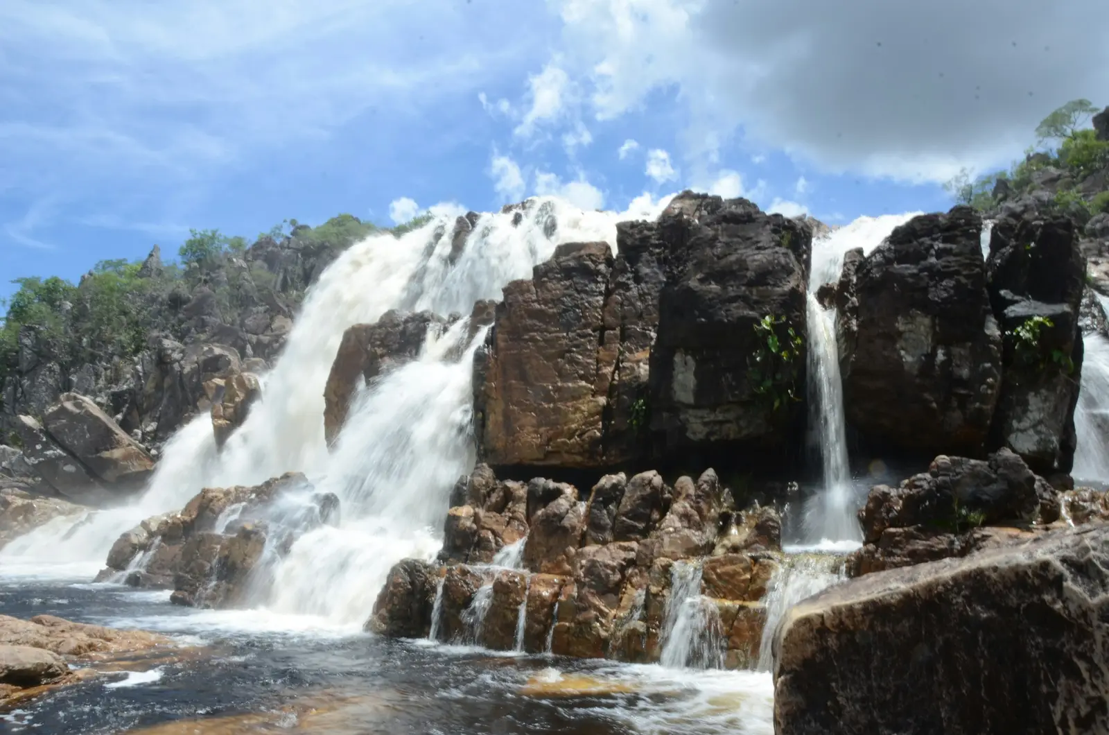
Chapada Diamantina
Chapada Diamantina is a highland region in the centre of Bahia of table mountains, canyons and dark-water rivers, about 315 km west of Salvador in a straight line. At its heart is the Parque Nacional da Chapada Diamantina, 152,000 hectares run by the Instituto Chico Mendes de Conservação da Biodiversidade (ICMBio), with almost 300 km of trails reached through six towns: Andaraí, Ibicoara, Itaetê, Lençóis, Mucugê and Palmeiras. ICMBio charges no entry fee and runs no guard posts or visitor centre inside the park. That openness comes with conditions. ICMBio recommends a visitor guide (condutor) and calls one essential on unmarked, long or rugged trails, there is no phone signal on most of them, fires are banned throughout the park, and domestic animals are not allowed. The Cachoeira da Fumaça, one of the tallest waterfalls in Brazil, is reached by a trail of about 5 km and two hours from the village of Campos in the Vale do Capão, with about an hour of steep climbing. The Vale do Pati takes three to five days on foot, and the nights there are spent in local residents' houses. Not every postcard view is in the national park. The Morro do Pai Inácio, the flat-topped hill above the BR-242 about 15 km northwest of Lençóis in a straight line, sits in the Parque Natural Municipal do Pai Inácio, run by the Prefeitura de Palmeiras, which sets its own entry fee and hours. The Serrano pools and the Salão de Areias on the edge of Lençóis are in the Parque Municipal da Muritiba, where the Prefeitura de Lençóis has sold timed tickets online since September 2022. Lençóis is the base for most visits: a diamond-rush town whose architectural ensemble the Instituto do Patrimônio Histórico e Artístico Nacional (IPHAN) listed in 1973, 570 buildings of adobe and stone around the Praça Horácio de Matos and a stone bridge of 1860. People booking here are hikers and couples who want a landscape with no beach in it: elopements on a rim, couple sessions by a waterfall, aerial work over the mesas.
Explore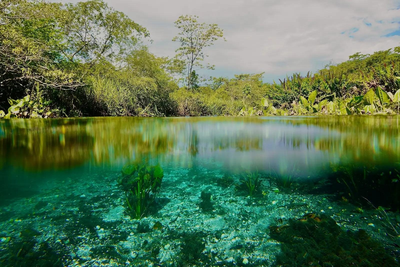
Bonito
Bonito is a town in the Serra da Bodoquena, in the south-west of Mato Grosso do Sul, and the base for a cluster of clear-water rivers, caves and sinkholes spread across Bonito, Jardim and Bodoquena. Since 1995 the municipality has run them on a voucher único: tours are bought through a travel agency, carried out with a guide, and capped at roughly 9,000 places a day across all the attractions, according to the municipal tourism office (Sectur). Nobody walks up to a river here and buys a ticket at the gate. The Gruta do Lago Azul is the clearest example. The cave sits inside the Monumento Natural da Gruta do Lago Azul, a 273.67-hectare state protected area created in 2001 and managed by the Instituto de Meio Ambiente de Mato Grosso do Sul (IMASUL), while the Prefeitura de Bonito runs the visits; it received 75,376 visitors in 2025, the most in five years. IMASUL lists guided visits booked only through an accredited agency, and since 1 September 2021 the Gruta and the Balneário Municipal check visitors in from a digital voucher. The rivers have rules of their own, set by the private reserves that own them. The Recanto Ecológico Rio da Prata, 45 km of paved road from Bonito, runs a float of 2,200 m in about 2 hours 30 minutes, in groups of up to 10 with an accredited guide, in water that stays at 24 °C. It admits children from age 5, asks for as little sunscreen and repellent as possible, prohibits drones and professional cameras in underwater housings, and sells its own professional photography service on the float. In practice that splits a Bonito session in two. Underwater pictures on the big floats come from the attraction’s own staff or the visitor’s own small camera on a wrist strap, while a hired photographer works on dry ground: the walkways, the decks, the trails and the edge of the Buraco das Araras, a sinkhole about 100 m deep where red-and-green macaws nest. Families and couples make up most sessions, booked around three or four vouchers across a long weekend.
Explore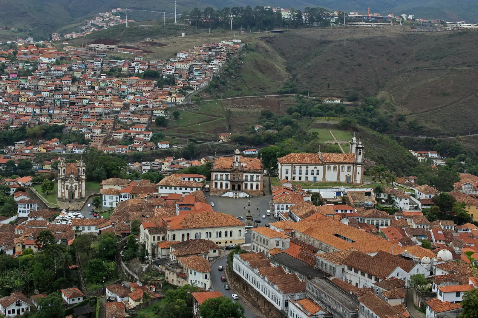
Ouro Preto
Ouro Preto is a colonial gold-mining town in the hills of Minas Gerais, built in the eighteenth century around steep cobbled streets, baroque churches and the long Praça Tiradentes. The Instituto do Patrimônio Histórico e Artístico Nacional (IPHAN) describes it as the first urban ensemble it ever listed, and it is a UNESCO World Heritage site. Listing governs what may be built, painted or altered in the protected area; it does not turn a photo session on a public street into something that needs a permit. What does need asking is the inside of things. The churches belong to their parishes and lay brotherhoods, each of which sets its own visiting hours, its own entry charge and its own position on photography inside, and those rules are rarely published. Every interior in a session plan is therefore confirmed with the church itself, while the facades, the squares and the streets between them are photographed from public ground. The Museu da Inconfidência, run by the Instituto Brasileiro de Museus (Ibram), occupies the former Casa de Câmara e Cadeia on Praça Tiradentes at number 139. It opened as a museum in 1944, admission is free, and its 4,000-item collection tells the story of the 1789 conspiracy against the Portuguese crown. The square in front of it is the centre of every walking route in town. Clients here are mostly Brazilian couples and families on a weekend from Belo Horizonte, about two hours away by road, plus international travellers on a Minas Gerais circuit. The streets are steep enough that sessions are planned downhill, with comfortable shoes in the bag and a car waiting at the bottom.
Explore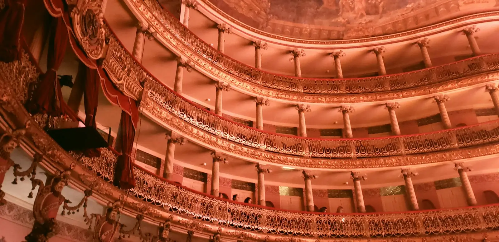
Manaus
Manaus is the capital of Amazonas, a river port on the left bank of the Rio Negro, a few kilometres upstream of its meeting with the Solimões. It is the gateway to the Amazon for most visitors, and a session here mixes two very different settings in one day: the rubber-boom centre around the Teatro Amazonas, and the river and forest on the city’s edges. Distances are short on the map and long in traffic, so a plan usually keeps the centre and the river for different halves of the day. The Teatro Amazonas opened on 31 December 1896, and its dome is covered with 36,000 ceramic scales in the colours of the Brazilian flag. The Secretaria de Cultura do Amazonas runs guided visits, about 30 minutes long, from Tuesday to Saturday between 09:00 and 17:00 and on Sundays and holidays between 09:00 and 13:00, for R$ 20, or R$ 10 at half price; people born in Amazonas and children up to 10 enter free. The building is closed to visits on Mondays. Outside, the Largo de São Sebastião has carried its black-and-white wave paving since August 1899, and the square is public at any hour. The river sets the rest of the calendar. The Serviço Geológico do Brasil (SGB) records the Rio Negro at Manaus peaking in June and bottoming out in October and November; on 16 June 2026 it stood at 28.42 m. At Ponta Negra, the city beach in the west zone, the Prefeitura allows bathing only until 17:00, when the lifeguards leave, and closes the water altogether when the river drops below its 16 m safety level, as it did by decree in September 2024. The Encontro das Águas, where the dark Negro and the muddy Solimões run side by side, is reached only by boat. For forest light without leaving the city, the Museu da Amazônia (MUSA) keeps a 42 m steel tower with 242 steps and platforms at 14, 28 and 42 m above a reserve of primary forest. MUSA opens daily except Wednesdays, from 08:30 to 17:00 with last entry at 16:00, charges R$ 50, and sells a booked sunset slot on the tower for R$ 70. Drones are prohibited there, and closed shoes are compulsory. Sessions in Manaus are mostly for couples and families passing through on the way into or out of the forest, often with a single free day in town.
Explore


About these places
20 destinations in 14 Brazilian states
- 20
- 14
- 3
- 3
This directory lists 20 places in Brazil where a session can be booked with a photographer who lives there: 14 cities and towns (Rio de Janeiro, São Paulo, Trancoso, Salvador, Foz do Iguaçu, Búzios, Paraty, Jericoacoara, Porto de Galinhas, Maceió, Natal, Gramado, Ouro Preto, and Manaus), 3 regions that are not a single town (Lençóis Maranhenses, Chapada Diamantina, and Bonito) and 3 islands (Florianópolis, Fernando de Noronha, and Ilha Grande).
The distinction between a city, a region and an island is not decorative. The Lençóis Maranhenses are a national park of dunes reached from Barreirinhas or Santo Amaro rather than a town, the Chapada Diamantina is a plateau of trails and waterfalls spread between several towns, and around Bonito most rivers and caves are on private land, visited by booking with the owner. On an island, the ferry, the boat or the flight decides when a session can start and when it has to end.
What each page carries is what a visiting photographer would not know: which hour a location works, and who has the say over photographing there. In Brazil the answer changes within a single afternoon — a national park run by the Instituto Chico Mendes de Conservação da Biodiversidade (ICMBio) or its concessionaire, a historic centre listed by the Instituto do Patrimônio Histórico e Artístico Nacional (IPHAN), a state park, a city that asks for a filming authorisation, drone rules set by the Agência Nacional de Aviação Civil (ANAC) and the Departamento de Controle do Espaço Aéreo (DECEA), and the private owner of every pousada, beach club and farm. Where a fee is stated, the page names its source and the month it was last checked; where it cannot be sourced, the page says to ask rather than guessing.
Clocks matter too: Brazil has no daylight saving time, Fernando de Noronha runs one hour ahead of Brasília time, and Manaus and Bonito one hour behind it — the detail a traveller combining the coast with the Amazon or the Pantanal side most often gets wrong. Each destination page also lists the areas covered from it at no travel charge, rather than giving them thin pages of their own, and names the nearby destinations a reader there plausibly also wants.